Map around (Ningen Shogi)Japanese

(Last modified: Feb 19, 1999)
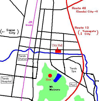

Map of Ningen Shogi
<Time for...>
From Tendo station ...
about 20 minuites on foot

From city office ...
about 20 minuites on foot

From Yamagata-Kita IC of Yamagata Highway...
about 10 minuites by car

From Yamagata Station ...
about 10 or 15 minuites by train

Larger maps ...(Japanese only !)
"Mapion" (North area in Tendo)
"Mapion" (South area in Tendo)
"Mapion" (Around "Yamagata-Kita IC")
<Place>
Fine day /
Top of the Mt.Maizuru

Rainy day /
Tendo City Hall (TEL +81-23-654-1511)
(Eastside of Tendo City Office, in front of City Library, City Museum)
Usually they announce where they have the event about 11:00 a.m.
<Parking place>
Around Tendo City Office (City Library, City Museum, etc.)

(1)We cannot drive to the top of the Mt.Maizuru this day. You have to park your car at the City Office.

(2)They will prepare many buses for visitors at the City Office.
More infomation...
Tendo Tourist center tel +81-23-653-1680

MAP / Miss Tendo / Become a samurai / History
Report in 2000 / Timetable in 2000 / Timetable in 1999
Report in 1998 / Timetable in 1998 / Schedule in 1998

Events Nature Hotel FeedBack SiteMap Tourist Guide
News Shogi Timetable Directory Navigator HOME
BACK"Ningen Shogi (Index)"

This web site is produced by one maniac for "Tendo". Please feel free to link our site.
Please use a feed back when you have a question, opinion, etc.
Tourist Guide in TendoMemories in Vietnam
Copyright(C), 1997-2009 Tetsuya TAKAHASHI and "Ikechang"